
So on Sunday I had my first walk with the Nerja Walking Club. This time, rather then it just being me walking up a hill this time it was lead by a proper guide towards some decent mountains.
Although we didn't go up any mountains with this being the very first walk of the group.
But it was strange walking about at the end of October in 20+ degree heat and clear skies. Very strange indeed. But starting about now is the best time to go walking around here.
Anyway, here is the route I took along with some info on the trek. All thanks to my N95 and Nokia Sports Tracker.
Also I'd lke to add, something happened to the GPS at one point. I did not travel--or fall--at 50+km/h
But here are a few of my favourite photos.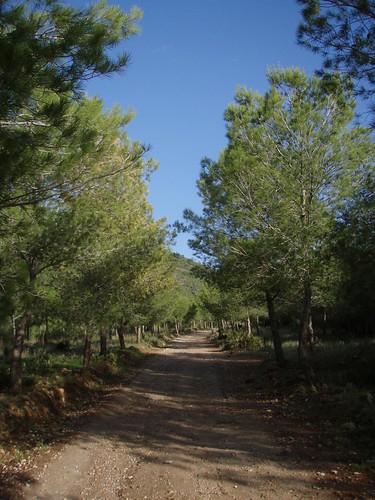
The beginning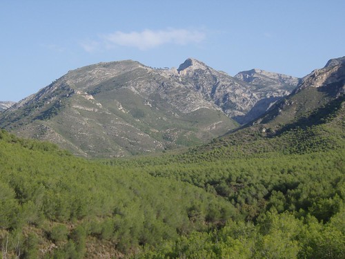
An idea of where I can go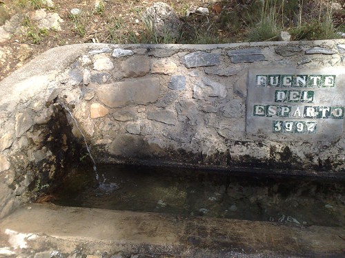
The Fuente del Esparto
The name of the walk comes from this here fountain. It's a natural spring and the water coming out is coming directly from the mountain. And it tastes lovely.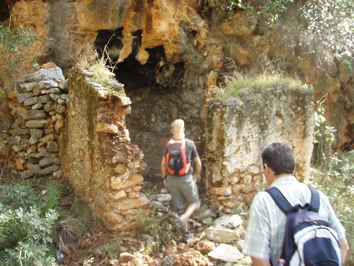
There where quite a few cave homes that we passed.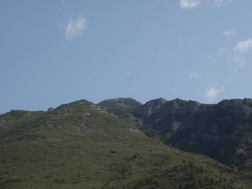
El Cielo cross
But this is where I can't wait to walk to. This walk is not until middle of December with the walking club and the mountain is called El Cielo, which means The Sky.
The moutain is taller the Ben Nevis, the tallest in the UK.
If you click the bigger picture you might just be able to make out on the second peak from the left a tiny little white dot. That is in fact a cross placed on their. I don't know why....yet. But I can't wait to get up their and see the views. Hopefully the weather won't be too cloudy that day.
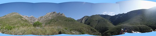
But here is some nice panaroma views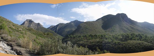
And finally the slide show.
I had a great time on this walk and although it was the easy I was able to find out the perfect starting point for dozens of walks in the mountains. And I will definitely be heading up there any clear weekends we have. I'm definitely made up I went.
Plus I'm told that the guy who runs this has adapted some maps to show a longitude and latitude that I would be able to recognise, rather then some Spanish co-ordinates. When I have that map I'll be able to do my own walks


1 day ago

No comments:
Post a Comment